Frequently Asked Questions
Frequently asked questions
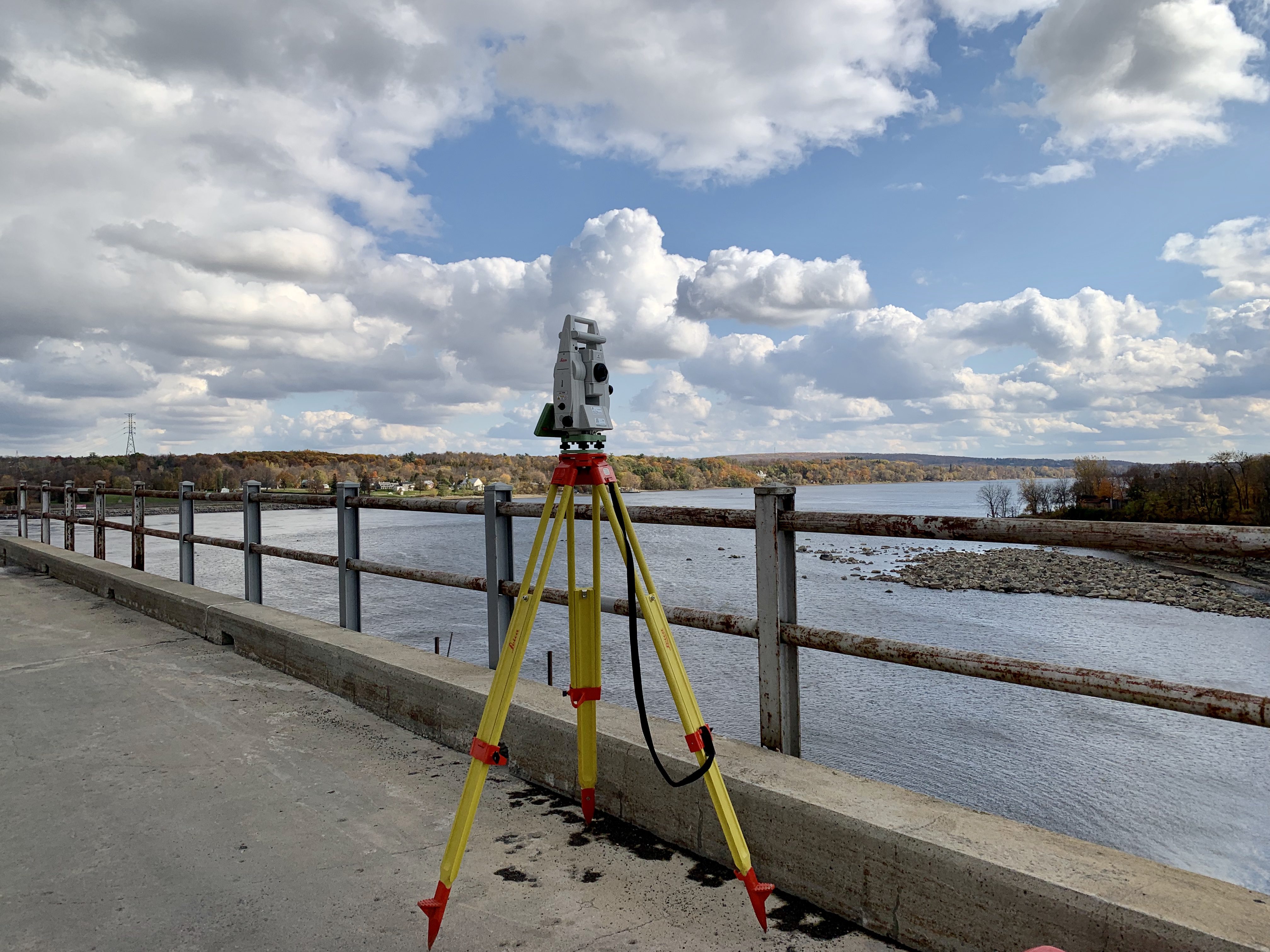
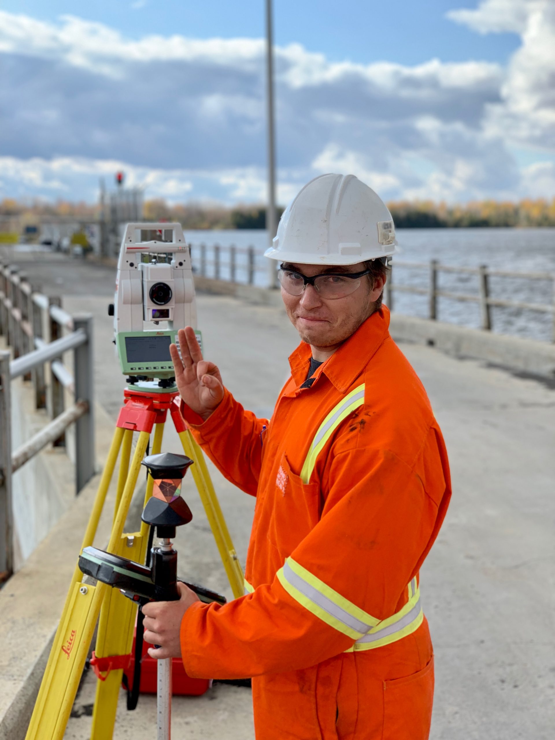
What is surveying?
Surveying generally refers to the operations used to measure and calculate distances, angles and areas on a land scale, that is to say land, buldings, structures, etc.
Surveying is always a technical operation at its core, but it often takes on a legal aspect when it concerns parcels of land and its boundaries. This aspect is the exclusive pratice of the land surveyor who has legal knowledge.
The measurement is generally carried out horizontally (2D), but it is possible that, for example, the slope of a land or the elevation of a structure is relevant, and therefore it can be carried out taking into account the vertical component (3D).
With the same mathematical principles, one can also calculate theoretical positions from existing elements already measured and a plan, then indicate this position on the ground (layout, staking, etc.).
Today, surveying is recognized as part of a larger family of science called geomatics. Geomatics is a field uniting geography and computer science.
Can surveying be done during winter?
Certainly! We do everything we can to achieve these ends despite sometimes difficult conditions. However, it is plausible that certain elements do not appear on our plan when, because of the snow, they were not visible at the time of the survey.
Do you lay survey markers during a location certificate?
No, the physical indication of boundaries is not part of the purpose or mandate of a location certificate. Another mandate must be undertaken and can sometimes be carried out simultaneously.
Do I have to be there when you do the survey?
You are of course entitled to attend, but if we have free access to the property, we do not require your presence.
In the event that access is restricted (condo, fence and locked backyard, townhouse), we will have to make an appointment with a person giving us access.
Can you work in Ontario?
Yes, as long as there is no property line determination or analysis against property lines. So we can do construction surveying, Lidar survey, etc.
Do you have other questions?
If you have questions about a construction project, location certificate or any other kind of service, that’s great! We have answers.