Construction project
Surveying for a new construction
The land surveyor has a key role in the early stages of a new residential construction project and is required again at the very end of the work. Here are the typical steps required for surveying in this type of project:
The land surveyor uses the final foundation plan provided to calculate the position of the house within the property lines. These calculations are then represented on a layout plan, that is, a document showing the position of the proposed house, the boundaries of the land, the servitudes as well as all the other constraints and particularities specific to each municipality. This document will be required to obtain the building permit. When the land is large and the positioning possibilities of the house are multiple, we can make an appointment to position the house according to your wishes, while ensuring that it respects the municipal regulations in force.
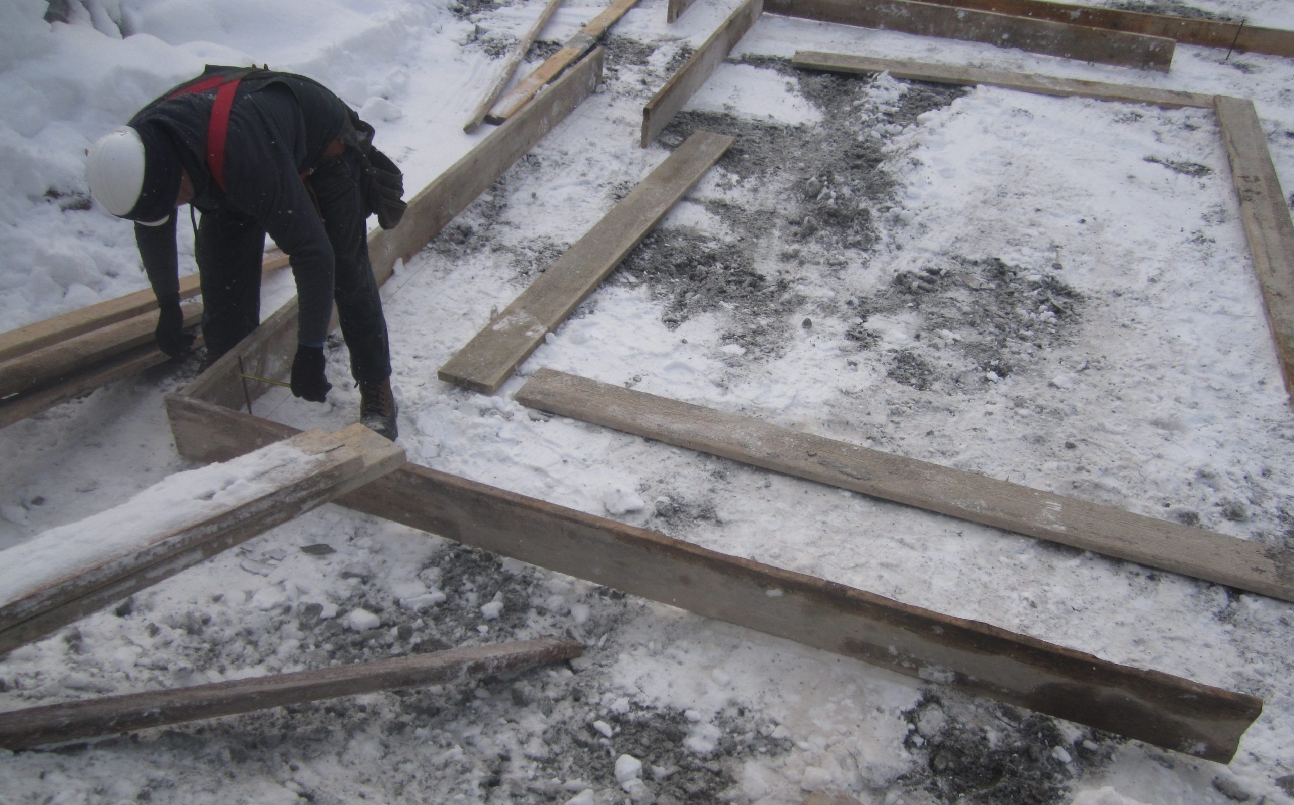
Once the building permit has been obtained, we will layout wooden stakes that are 1.22 meters (4 feet) taller than the foundations and which will serve as a guide for the excavator. When the hole in the house is finished, we return a second time to position iron rods at the exact corners of the foundation so that its footing is located in the right place. In some cases we may have to go back a third time to layout nails on the footing; the people building the foundation will tell you if it is necessary. All these steps must then be represented on a layout certificate, ie a document governed by the Regulation respecting standards of practice for staking and layout (CQLR, c. A-23, r.11).
The services of the land surveyor will again be required at the end of the mandate in order to carry out the location certificate for the property. Why a location certificate for new construction? In most cases, this document will be required by the financial institution to obtain the final mortgage payment and by the municipality to obtain the deposit money.

What do I have to know?
What should I do before calling you?
If your land is not served by municipal services, you will need to contact a technologist for your septic field. This one must respect certain physical constraints specific to the ground to position the field. In addition, we will have to show the position of the proposed septic field on the layout plan and its location will have to be determined before positioning the house.
It will also be necessary to have the final house plans (foundation section) to make the layout plan.
Do watercourses and wetlands affect my project?
Yes. It is forbidden to build in all watercourses and wetlands. In addition, there is a riparian protection strip where construction is also prohibited. The width of this protective strip varies according to the municipalities and according to the type of wetland, but in the case of watercourses it is at least 10 meters from the natural high water mark.
Can you determine the extent of wetlands?
Very often yes, but in certain cases the limit of wetlands is too ambiguous and it will have to be determined by a botany specialist.
Are the steps the same for the layout of a garage only?
Not all municipalities require a layout plan in the case of building a garage. If this is the case, you are not required to contact a land surveyor for your project.
However, you have to be careful. You are still never exempt from respecting the municipal zoning regulations in force as well as constraints such as an servitudes on your land. Neglect at this level could lead to problems in the future, especially when you have to provide a location certificate to a potential buyer.
So, whether the municipality requires it or not, we can set up your garage by ensuring that it respects all the location constraints relating to your building.


