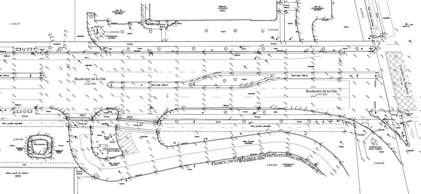
Topographic survey, elevations
A topographic survey is a survey of natural and artificial elements present in the terrain, generally in 3 dimensions (horizontal and vertical). It is therefore a question of modeling the real world in order to represent it on a plan or to provide a model for the design of construction / renovation projects.
If you want to know the 3D position of structures, objects or entire terrain, we can provide you with a product that will meet your needs. We have solutions for you from the simplest to more sophisticated, precise and detailed ones.
