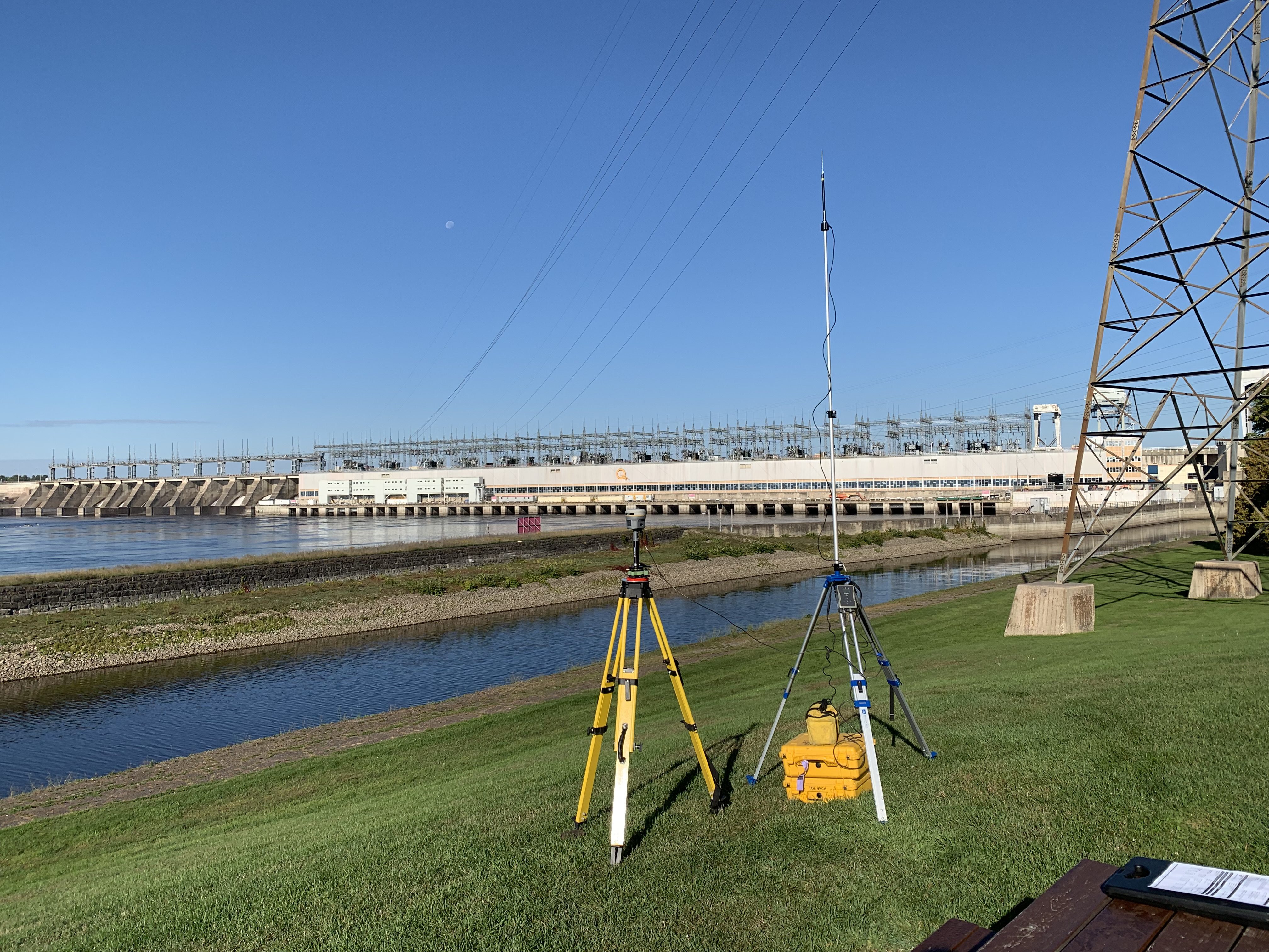
Establishment of control points
A foundation for your project
Control points are essentially physical points that are generally solid and permanent and whose position is known. Any project for which we may want to know the position of something with a certain precision normally requires the establishment of control points, usually for one of those purposes:
- Ensure that the various stakeholders in a project agree on the planning and location of structures or objects in the field.;
- Ensure that you are able to reconstruct the field position of a reference system on which calculations are based, such as a system of structural axes;
- Ensure that you have a link to establish and verify the relationship between the terrain and its modeling (for example: orthorectification of aerial images, 3D LiDAR scanning, total station survey, etc.);
- Hold a certification from a land surveyor guaranteeing the position and accuracy of these particular points.

A control point is said to be geodetic when it is used to know the position of a point throughout Quebec or on Earth. This is a so-called absolute position, because in principle you do not need another point to determine which place you are talking about. However, you have to know what coordinate system it is.
In many cases, we do not necessarily want to know where we are in Quebec as a whole, but rather it is the position between one point and another point of the same project that interests us. The study of relationships, such as distance, angle, or slope, between the position of one object and another involves relative positioning.
Finally, there are also several types of control points varying in strength and durability. It can range from a painted cross marked on the ground to a concrete reference pillar built on the site.
Contact us to find out the relevance of establishing control points for your project and to determine the type, number and precision required to achieve your objectives.


