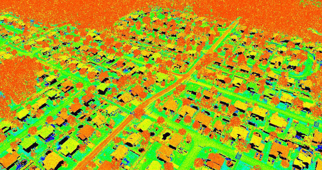
3D Modeling
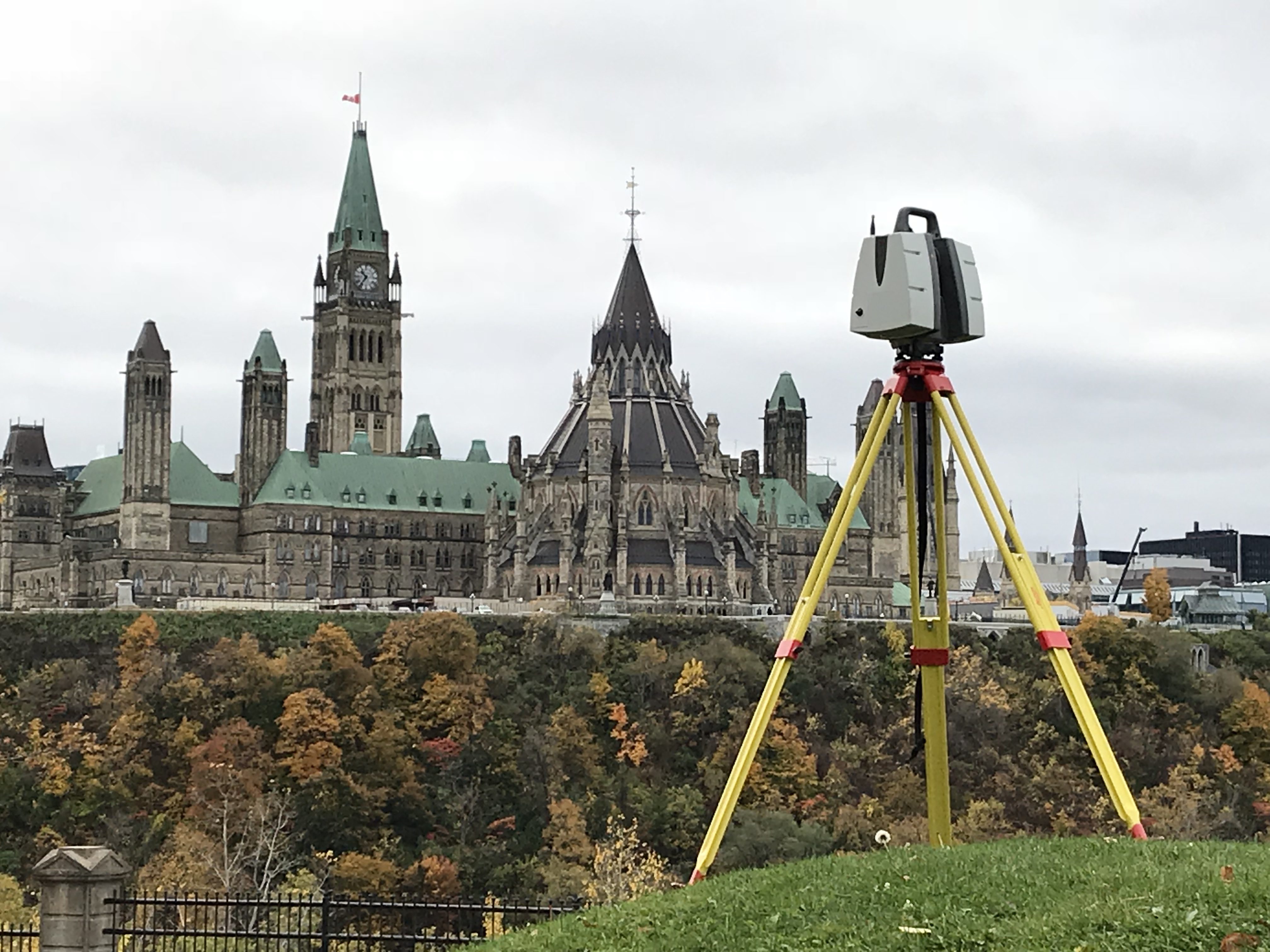
Use our 3D scanning services for all your spatial data needs
- at high resolution (high level of detail);
- excellent accuracy (typical surveying accuracy may vary from a few mm to 2-3 cm);
- georeferenced.
We can generate deliverables ranging from classified point clouds to full 3D modeling of objects and structures of interest.
We are the first in the Outaouais to have acquired a Leica P30 LiDAR terrestrial scanner and are very familiar with the opportunities and limitations offered by this instrument.